Express Bus Terminal Station: Find the Right Terminal Before Your Bus
Navigate Lines 3, 7 and 9, distinguish Seoul Gyeongbu from Central City, and find terminal maps, boarding checks and line-specific lost-property contacts.
KOREA TRAVEL
Directions, buses, subways, taxis, trains, and transport cards.
Navigate Lines 3, 7 and 9, distinguish Seoul Gyeongbu from Central City, and find terminal maps, boarding checks and line-specific lost-property contacts.
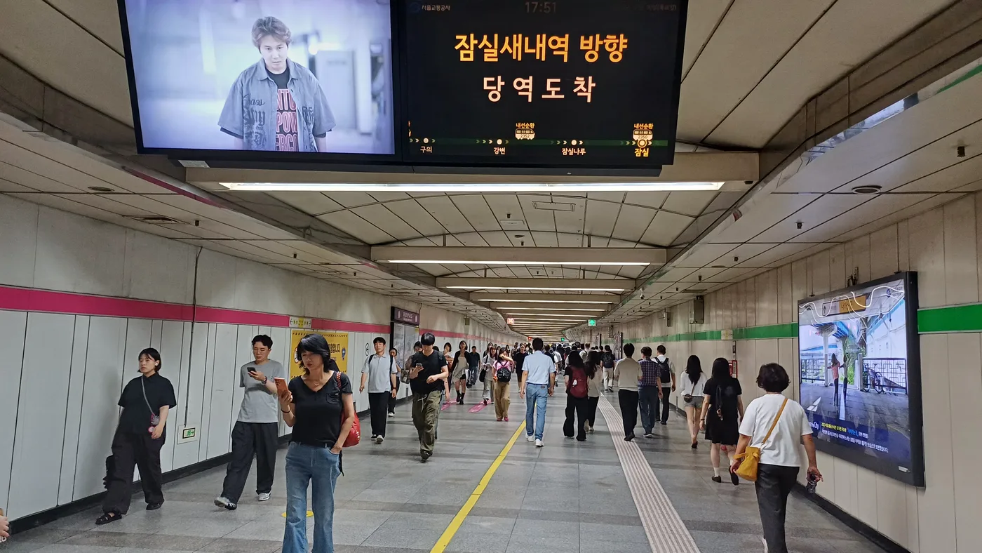
Choose the right side of Jamsil for Lotte World Adventure or Seoul Sky, transfer between Lines 2 and 8, and contact the correct lost-property centre.
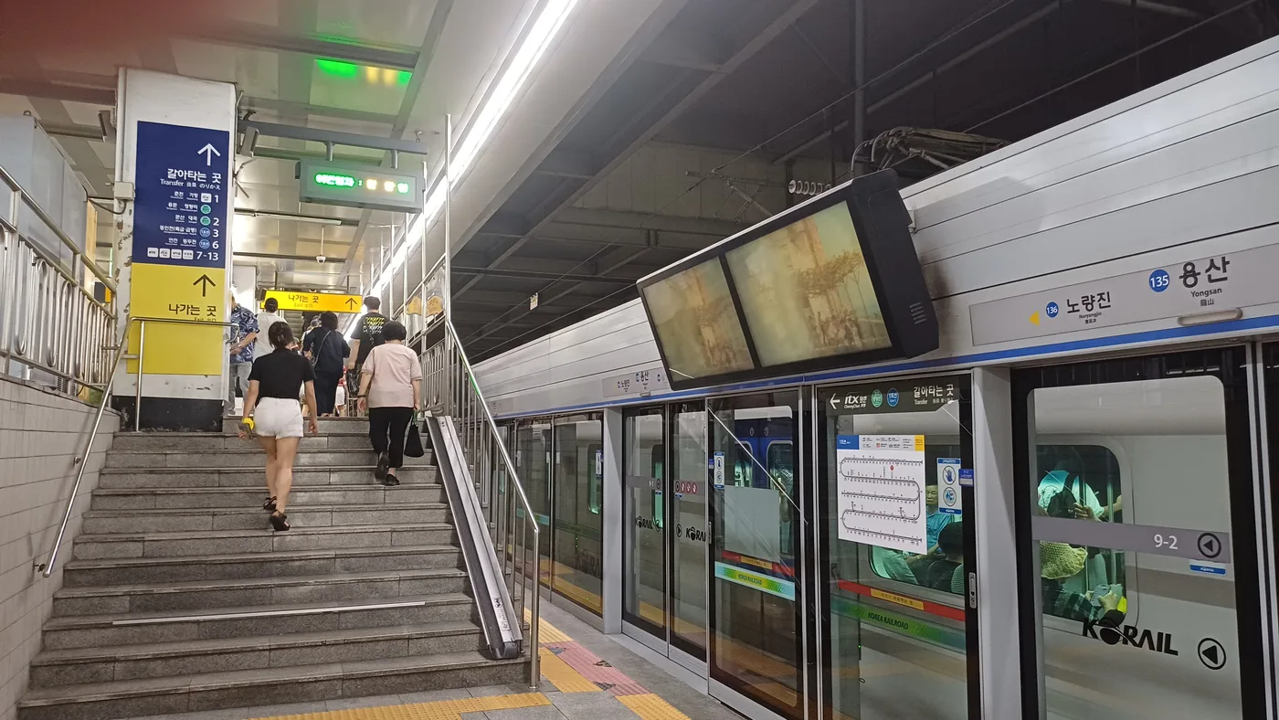
Find Yongsan for your booked train, distinguish it from Line 4 Sinyongsan, and handle subway-to-KTX or ITX-Cheongchun connections without confusing tickets.
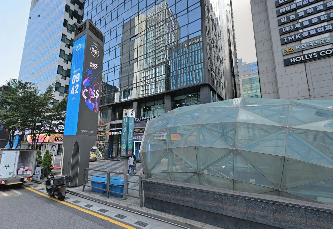
Know which Gangnam station and line you need, handle Shinbundang transfer gates, and choose a street exit from your destination rather than the neighborhood’s name.
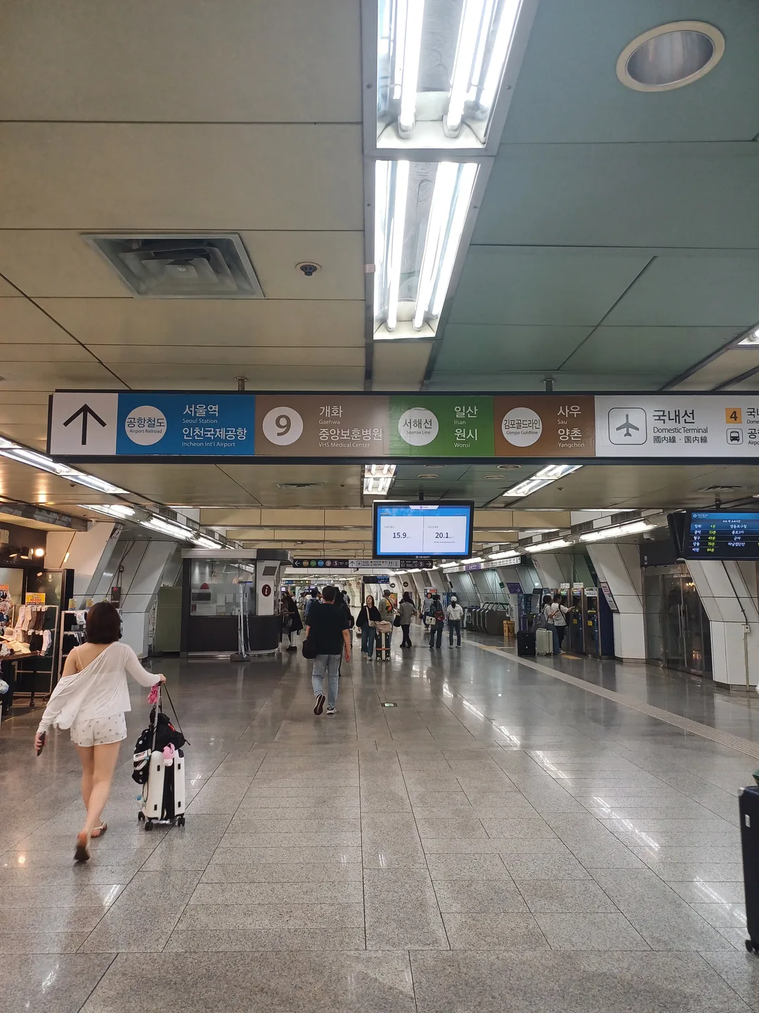
Navigate Gimpo Airport Station’s five connecting lines, choose the domestic or international terminal corridor, and distinguish airport trains from city transfers.
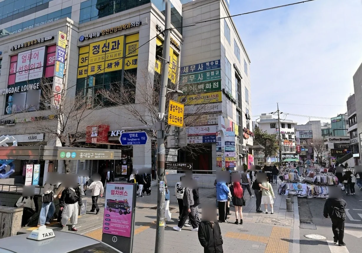
Choose the right Hongdae exit, transfer between AREX and Line 2, and find the published luggage-storage areas without hauling your suitcase across the wrong concourse.
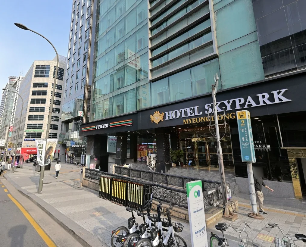
Use Myeongdong’s Line 4 station for the shopping district, choose a hotel exit by address, and locate the officially listed B1 luggage-storage area near Exits 9 and 10.
Choose a transport card, check the correct balance, tap properly and compare Climate Card coverage with your actual route before buying a pass.
Understand why map search and navigation are different, what the 2026 map-data decision does not guarantee, and how to prepare a reliable route in Korea.
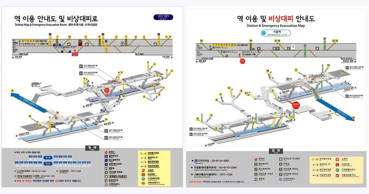
Navigate Seoul Station with official Line 1 and Line 4 maps, practical toilet and elevator guidance, and clear routes between KTX, AREX and the subway.
Use Kakao Mobility's k.ride app to call taxis in Korea with a multilingual interface, translated driver chat, estimated fares, foreign cards, PayPal, and airport pickup reservations.
Use KakaoBus to check nearby bus stops, real-time bus and subway arrivals, route details, transfers, fares, and boarding or exit alerts in one app.
Use NAVER Map to find Korean places, check branches and opening hours, and compare walking, bus, and subway routes without a Korean phone number.
Rent Seoul Bike Ttareungyi as a visitor: choose Foreigner, buy a 1-, 2-, or 3-hour pass, find a bike, unlock by QR, and confirm the return.